Crafting Memories for Mom: Fun and Unique Mother’s Day Gift Ideas for Upper Elementary Students
Are you looking for Mother’s Day gift ideas? As Mother’s Day approaches, it’s time to celebrate the special women who nurture, support, and love us


Are you looking for Mother’s Day gift ideas? As Mother’s Day approaches, it’s time to celebrate the special women who nurture, support, and love us
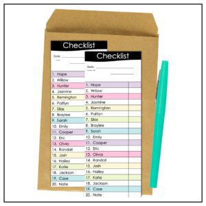
Field trips are the highlight of our students’ school year and offer them a change of scenery. But behind the scenes, we are the conductors
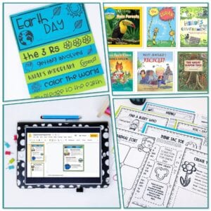
With the growing importance of environmental awareness, Earth Day is more than just a yearly observance – it’s a crucial educational moment for our students.
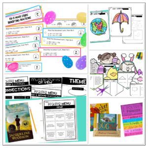
Get ready to spring into learning with these exciting teaching ideas for April! As the days become longer and the weather warms up, there’s no